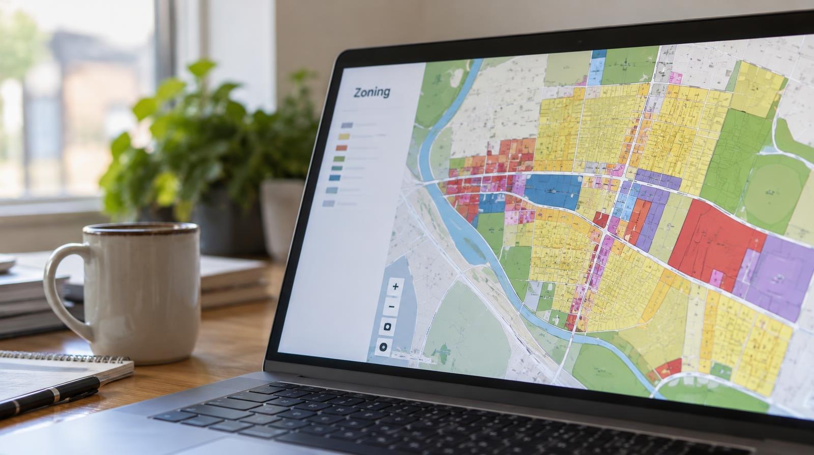
Nolensville residents can look up zoning, parcel boundaries and plot plans for any address in town through a free interactive map on the town's website.
The tool got a spotlight in an Oct. 23 episode of Nolensville News, the town's video podcast, which featured Joel Cook, the town's GIS coordinator, in a new "Did You Know?" segment, according to a town social media post.
The map lets users view adopted town limits, zoning designations and parcel data. Residents can also create custom maps, toggle data layers, measure distances and areas, and access the latest aerial imagery, according to the town's planning page.
One practical use: pulling up a property's plot plan. The town's website walks users through the steps, starting with an address search and then toggling to a "Documents" tab to find associated records.
The map is available at nolensvilletn.gov/planning-zoningmap.